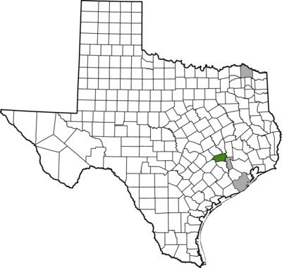
Washington County
Exploring Slavery and its Afterlives
Washington County and the Peculiar Institution: An Exploration of Slavery and its Physical Environments at the Seward Plantation, 1836-1845
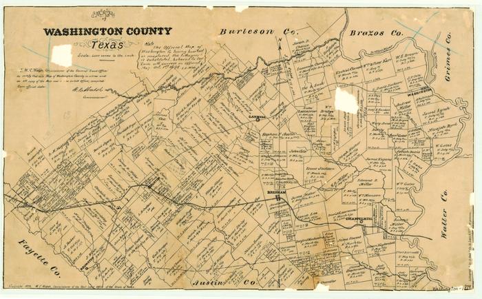
Historical records indicate that the first human inhabitants of the area that is now Washington County, were the Tonkawa and Caddo tribes. Washington County, established on December 17, 1837, holds a significant place in Texas history because it is where the founders of the Republic of Texas drafted the Texas Declaration of Independence from Mexico on March 1, 1836. Known as “Washington on the Brazos,” Texians (Anglo-American settlers) created the town as a business venture.1 The agricultural ventures, which were central to commerce in the area, were buttressed by enslaved people’s labor.
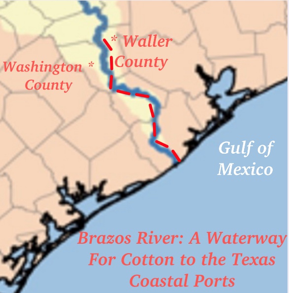
Washington County was central to cotton cultivation in Texas, the county was also the political and economic center for the power brokers who were guardians of the institution of slavery. After becoming a state in 1845, Texas emerged as one of the leading cotton producing hubs of the American South. Among the primary beneficiaries of this commercial growth were large plantation owners who used the Brazos River as a gateway to open ports on the Gulf to become some of the wealthiest men in the new state. Samuel Seward was among this group of aristocrats and affluent men.
Footnotes
1 Richard McCaslin, Washington on the Brazos: The Cradle of the Texas Republic, Texas State Historical Association, Fred Rider Cotten Popular History Series, 2016, 1-10. Washington served as a national capital for the Republic of Texastwice, county seat, and venue for statewide political conventions.